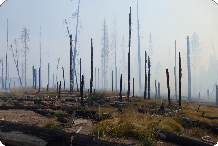
Stanford Scientists Map Wildfire Fuel Moisture Across West With AI, Satellite Data; Could Help Fire Management Decisions
As California and the American West head into fire season amid the coronavirus pandemic, scientists are harnessing artificial intelligence and new satellite data to help predict blazes across the region.

